 AB Inflatables
 AB Alumina
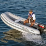 AB Lammina
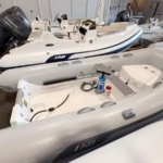 AB Navigo
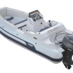 AB Nautilus
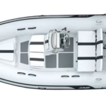
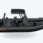 Zodiac RIBs
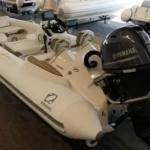 Zodiac Yachtline
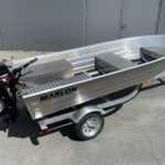 Marlon Boats
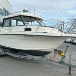 Used Boats
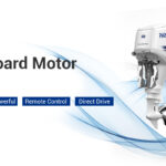 Parsun Outboards
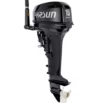 2 Stroke Outboard
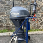 Used Outboards
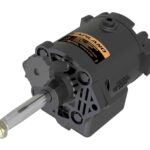 Outboard Parts
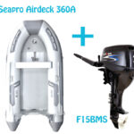 Seapro & Parsun Bundle
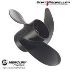 Mercury Marine Propellers
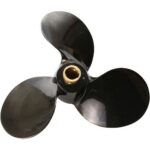 Michigan Propellers
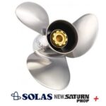 OMC Outboards Propellers
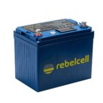 Batteries
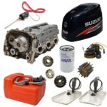 Boats & Motor Parts
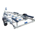 Bunk Range
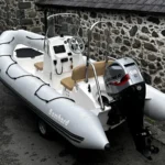 Special Offer
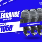
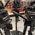
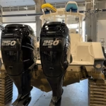
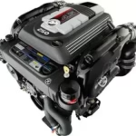
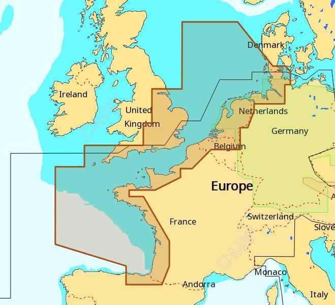
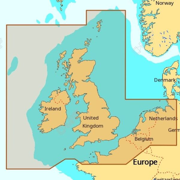

CHART TYPES AVAILABLE
4D MAX +
C-MAP 4D MAX + is the latest evolution of electronic charting technology, combining award-winning vector chart data with exclusive Dynamic Raster Charts and the ability to view charts in 2D or amazing 3D presentation with high-resolution satellite imagery. Packed with innovative features designed to enhance every cruising, fishing or sailing experience.
- Compatible with top chart plotter manufacturers including, Furuno, Humminbird, Raymarine and Standard Horizon
- Local and Wide coverage available worldwide, and at a budget that suits your boating needs
- Ability to add future Value Added Data segments and features
MAX
C-MAP MAX electronic charts have been a worldwide standard for years, providing cruisers, sailors and fishermen with the accurate, up-to-date chart data they need to enjoy each day on the water. Still a leading choice of navigators and chartplotter manufacturers around the globe.
- Updated twice annually to provide all the latest detail and information
- Compatible with dozens of chartplotters from top manufacturers
- Extensive coverage of coastal waters, lakes and rivers
- Local, Wide and MegaWide coverage for all charting needs and budgets
MAX-N
New C-MAP MAX-N cartography gives Lowrance, Simrad and B&G customers access to accurate, up-to-date C-MAP chart data trusted by navigators around the globe. C-MAP MAX-N opens up a new world of performance for cruisers, sailors and fishermen, providing the detail, advanced features and coverage to fuel every boating adventure.
MAX-N +
MAX-N + features are currently compatible with the Lowrance HDS Gen2.
The following chartplotters will soon be compatible with MAX-N +: (Lowrance HDS Gen2 Touch, HDS Gen 3 Simrad Go7, NSO & NSE Evo2 and B&G Zeus 2 Touch & Vulcan).
- C-MAP MAX-N + brings trusted C-MAP data and advanced charting features to users of compatible Lowrance, Simrad and B&G navigation systems.
- Whether you’re an avid saltwater angler, sailing enthusiast or long-range cruiser, these powerful charts will enhance every moment you spend on the water.
- With huge coverage areas, up-to-date data and state-of-the-art features, no adventure is out of reach.
C-MAP MAX-N + is packed with features that enhance any boating lifestyle.
- Dynamic Raster Charts give sailors a traditional “nautical chart” view with the ability to access important information. High-Resolution Bathymetric (HRB) charts and Sportfishing Data deliver powerful technology for avid anglers.
- Tides & Currents projections help both sailors and anglers plan their day.
- Easy Routing helps to automatically plot the shortest, safest route based on detailed chart data and user vessel information.
- New depth shading: many options available whether you set a safety depth, maintain a paper like view or your own custom color for depths
- With these features and many more, C-MAP MAX-N + is ready to take your boating enjoyment to new levels.
All our C-MAP charts come on either a C-Card or SD/Micro SD card depending on which chartplotter you are intending on using the chart with.
Please note that all C-Map purchaces are custom built depending on the customers requirements. As a result we do not accept returns for C-Map products. To be sure you have selected the correct variation for your system please view our compatability sheet below before proceeding with your order.