 AB Inflatables
 AB Alumina
 AB Lammina
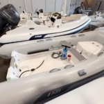 AB Navigo
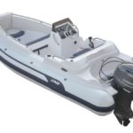 AB Nautilus
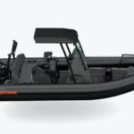 Zodiac RIBs
 Zodiac Yachtline
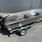 Marlon Boats
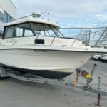 Used Boats
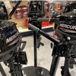
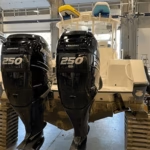
 Parsun Outboards
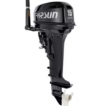 2 Stroke Outboard
 Used Outboards
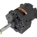 Outboard Parts
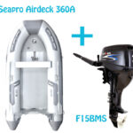 Seapro & Parsun Bundle
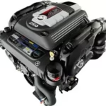
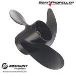 Mercury Marine Propellers
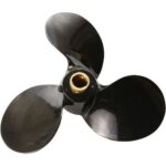 Michigan Propellers
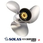 OMC Outboards Propellers
 Batteries
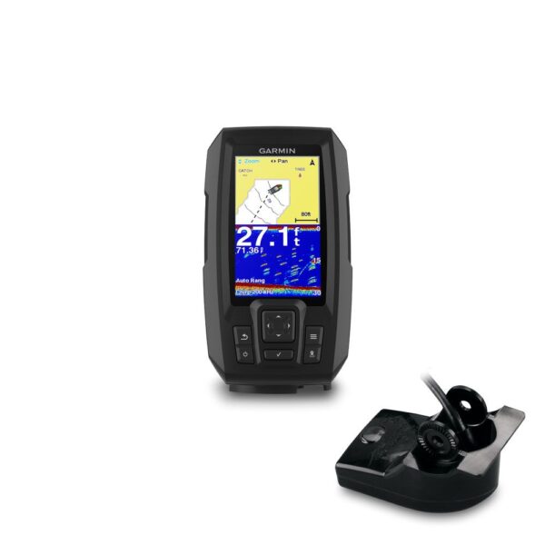
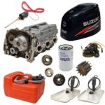 Boats & Motor Parts
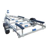 Bunk Range
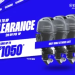
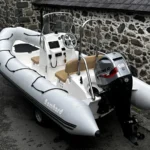 Special Offer


![]()
Everyone at Boat Parts Warehouse continually works hard to exceed our customers expectations and we are immensely proud that we have been recognized as a winner of the prestigious Professional Marine Dealer of The Year Award which recognizes outstanding sales and service support provided by dealers in the Marine Sales, Boat, Boat Parts, Outboards, and Outboards parts.
We’re also delighted to have been recognised as offering one of the best levels of service out of almost 100 outlets selling products throughout the USA, Canada, Australia, UK, Asia and Europe. And have been awarded the Gold + Service Dealer Award. The awards, which are assessed and presented every two years.
Mark Curtis, After-Sales Manager at Boat Parts Warehouse said, “We continually work incredibly hard all year round to ensure we consistently work to the highest standards that are required to be awarded the Gold award. Customers are at the forefront of everything we do at Boat Parts Warehouse and awards like this offer customers the reassurance that they’re in safe hands”.
Intuitive and easy to use software, complete with full GB coverage of Ordnance Survey 1:25,000 Explorer offers the highest detail outdoor mapping available. Great for harder walks and off-road biking as OS Explorer shows footpaths, bridleways and other rights of way along with thousands of points of interest such as viewing points, picnic sites, and of course pubs! Memory-Map OS Explorer can be used on up to 5 devices – Windows PC, Mac, iPhone, iPad or Android.
You can choose between a Lifetime or annual Subscription licence. Both have the same maps, software features and allow use on all your devices. Check the key differences below:
| Lifetime licence | Subscription licence | |
|---|---|---|
| Software and map expiry | None – Lifetime | 12 months |
| Map updates | Optional upgrade | Free updates |
| Software updates | Revisions free, major versions optional. | Revisions and major versions free |
| Format | USB or Download | Download only |


Memory-Map v6 improves performance and stability whilst adding some great new features such as CloudSync and AutoRouting.
| CloudSync enables you to transfer routes, marks and tracks to and from your mobile devices via the internet ‘cloud’ rather than having to email or connect your device.
AutoRouting. Create a rough route, even just a straight line A to B, and then choose to Optimise Route for Driving, Cycling or Walking and Memory-Map will create a more detailed route for you automatically. The online database is great for car journeys and being improved all the time for walking and biking. |

For a complete list of updates visit: Memory-Map 6 Updates
No account yet?
Create an Account